 The Washington Geological Survey is pleased to announce a new publication that explains the detailed protocol that Survey geologists are using to systematically map landslides using lidar. This protocol closely follows the methods used by Oregon Department of Geology and Mineral Industries to map landslides in Oregon.
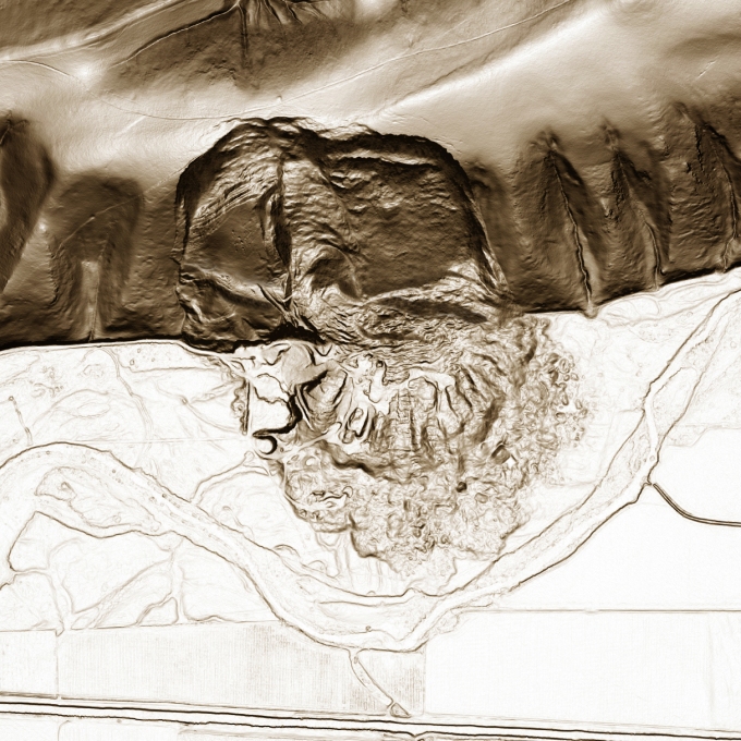
The objective of the protocol is to establish standardized methods for the creation of a landslide inventory in a GIS to ensure that all data are collected in a consistent manner. This protocol requires the use of lidar-derived digital elevation models (DEMs) for landslide mapping. The high resolution and quality of lidar enables geologists to accurately identify and delineate landslides.
This protocol was recently used to inventory landslides in Pierce County, Wash., and Survey geologists are now implementing the mapping protocol to the south along the Columbia River. These data will appear on the Survey’s Geologic Information Portal beginning later this summer.
Suggested citation: Slaughter, S. L.; Burns, W. J.; Mickelson, K. A.;
Jacobacci, K. E.; Biel, Alyssa; Contreras, T. A., 2017, Protocol for landslide
inventory mapping from lidar data in Washington State: Washington
Geological Survey Bulletin 82, 27 p. text, with 2 accompanying ESRI
file geodatabases and 1 Microsoft Excel file.
Link:http://www.dnr.wa.gov/Publications/ger_b82_landslide_inventory_mapping_protocol.zip

One thought on “Statewide Protocol for Landslide Mapping from Lidar Data Released”
Comments are closed.